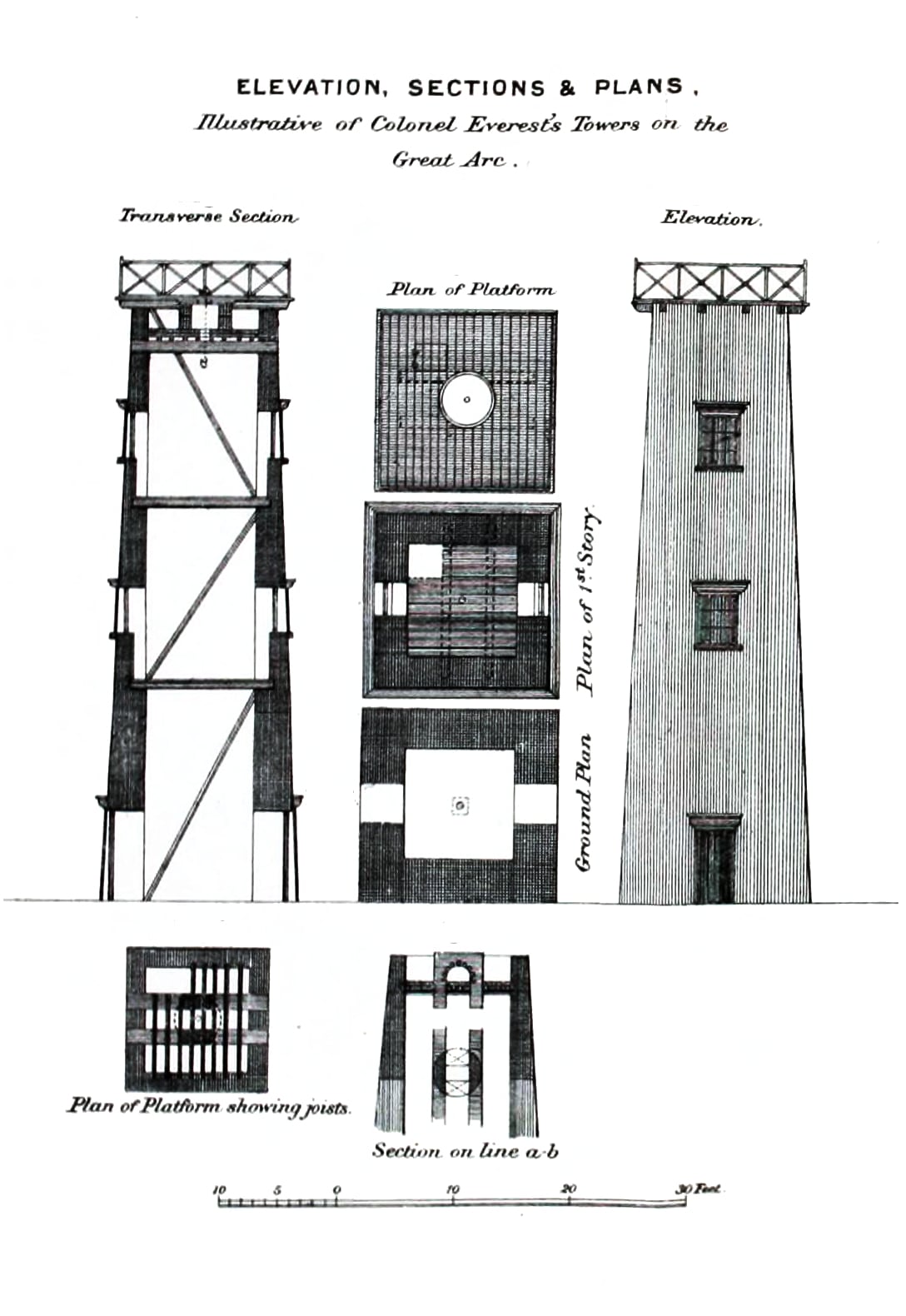
A Survey Computer Finds That Peak XV Is the Highest Mountain
Radhanath Sikdar and the computers of the Great Trigonometrical Survey calculated in 1852 that Peak XV, later named Everest, stood higher than every other summit; the result was announced in 1856.
During the expansion of the British East India Company across the Indian subcontinent in the eighteenth century, imperial administrators faced severe difficulties in producing reliable maps. Early geographical mapping by surveyors such as James Rennell had revealed substantial cumulative errors caused by the lack of mathematically rigorous ground controls. Following the British military defeat of Tipu Sultan in southern India, an infantry officer named William Lambton proposed establishing a systematic network of trigonometrical baselines. His scheme aimed to replace rough estimations with precise geodetic control points, beginning in the newly seized territories of Mysore and ultimately extending across the entire subcontinent.
Field operations officially commenced in April 1802 with the determination of an initial baseline near Madras. Lambton selected a flat coastal plain between St. Thomas Mount and Perumbauk Hill, measuring an initial distance of 7.5 miles under rigorous experimental conditions. Field crews relied on heavy one-hundred-foot metal chains, laid flat along aligned horizontal tables, kept under uniform mechanical tension, and shielded under canopies to mitigate thermal expansion. From this starting segment, teams sighted key elevated topography westward across the peninsula toward Mount Delly and Tadiandamol, extending the line across the peninsula toward the west coast over the following years. Although authorities initially assumed the entire survey could be completed within five years, the project expanded over nearly seven decades.

Keep reading in Yester
Coming soonKeep following the story
Sources
- Radhanath Sikdar and the measurement of Peak XV (Live History India)
- Extremities of the Earth: The Highest Point from Sea Level (Library of Congress, Maps blog)
- The Task of Measuring India (Live History India)
- 10th April 1802: Start of the Greatest Survey Ever (Geospatial World)
- William Lambton: The Soldier Who Mapped India (Storytrails)
- Great Trigonometrical Survey
Image: C. Strahan · Public domain · Wikimedia Commons · cropped
